The Complete
Overland Track Guide
The Complete Overland Track Guide
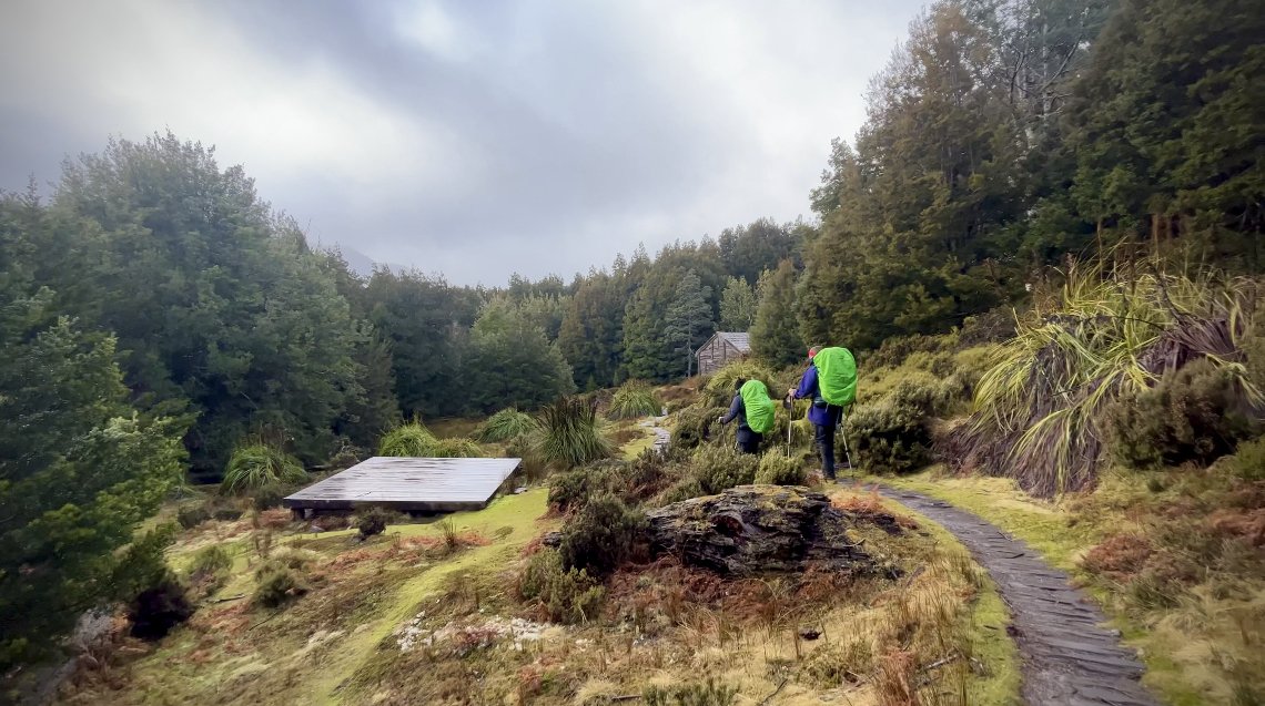
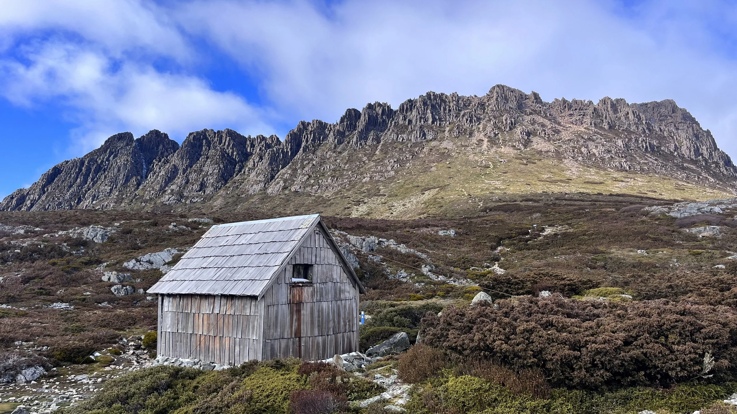
Approaching Du Cane Hut on the Overland Track
Complete Overland Track Guide
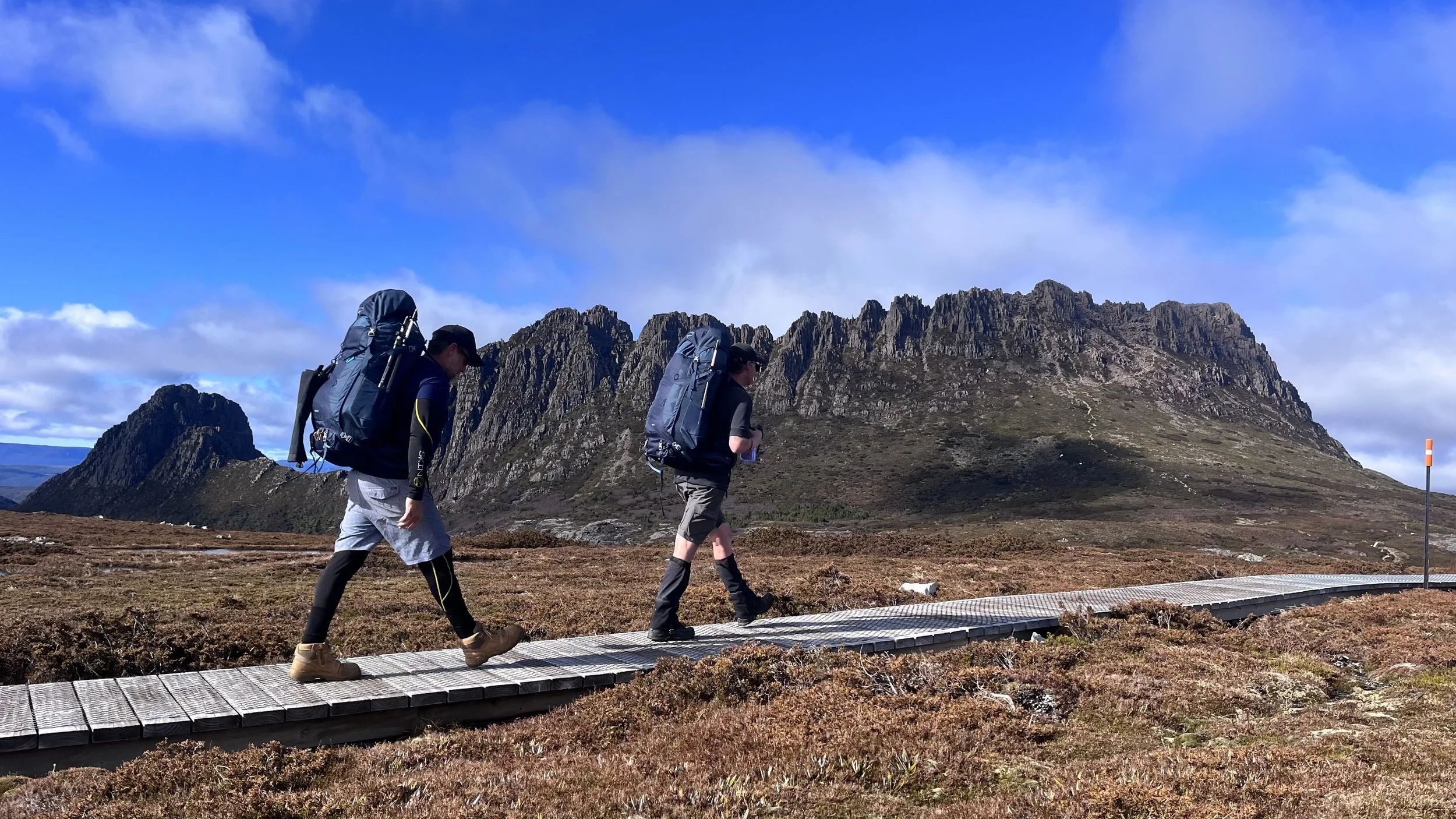
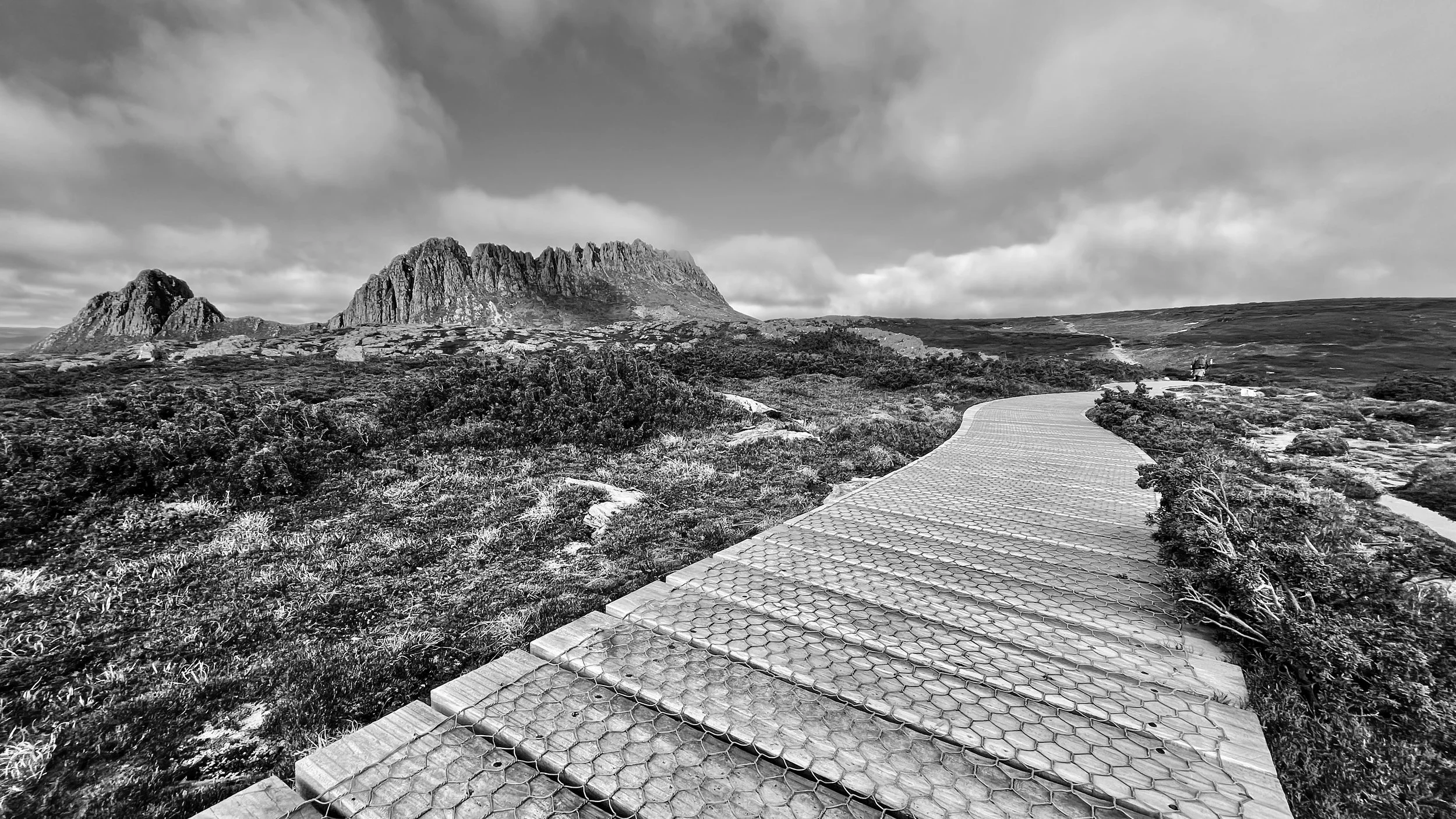
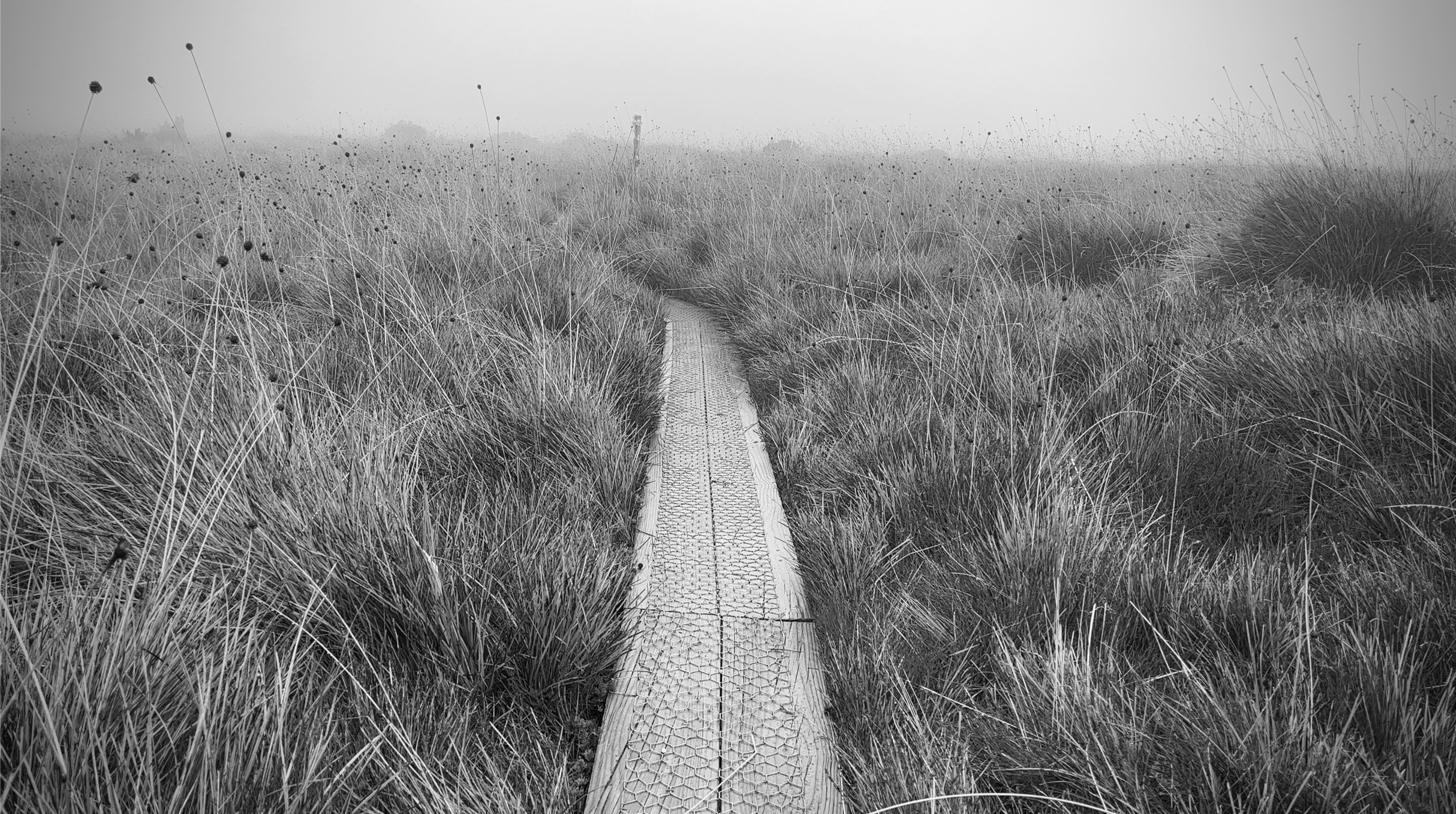
The Overland Track is Australia's most iconic multi-day walk and it attracts literally thousands of people every year. Crossing the heart of the Cradle Mountain-Lake St Clair National Park, this world-famous journey takes walkers through alpine plateaus, glacial valleys, ancient rainforest, button grass plains and some of the most spectacular mountain scenery in the country. For many people, walking the Overland Track is a bucket-list adventure years in the making. Whether you're planning your first Tasmanian bushwalk or travelling from interstate or overseas specifically for the track, understanding what lies ahead will help you get the most from the experience. This guide covers everything you need to know before stepping onto the trail.
With over 23 Overland Track trips under my belt and over 10 years of transporting people from all over the world to Cradle Mountain and from Lake St Clair, I have found every trip to be different and leaving you wanting more. This is an adventure you can do over and over again.
What Is the Overland Track?
The Overland Track is a 65-kilometre wilderness walk extending from Ronny Creek, near Cradle Mountain, to Narcissus Hut at the northern end of Lake St Clair. Most walkers then either take a ferry across Lake St Clair or continue walking an additional 17.5 kilometres to Cynthia Bay, making the full journey approximately 82.5 kilometres or catch the ferry from Narcissus Hut to Cynthia Bay. Located within the Tasmanian Wilderness World Heritage Area, the track traverses one of the most pristine temperate wilderness environments left on Earth. Along the way you'll experience: Alpine lakes and tarns, Ancient pencil pine forests, Myrtle rainforest, Glacial valleys, Mountain summits, Waterfalls, Vast button grass plains and Tasmania's highest mountain - Mt Ossa (1,617m). Most walkers complete the track in six days, although many choose to spend seven or more days on the trail to enjoy side trips and a more relaxed pace.
Overland Track Quick Facts
Distance: 65 km to Narcissus Hut
Distance including Lake St Clair walk-out: 82.5 km
Duration: 6-8 days
Grade: Grade 4 Bushwalk
Highest Point on Main Track: Pelion Gap
Highest Optional Summit: Mount Ossa (1,617m)
Direction During Booking Season: North to South only
National Park: Cradle Mountain-Lake St Clair National Park
State: Tasmania, Australia
Why Is It So Popular?
What makes the Overland Track unique is the incredible variety of landscapes packed into a relatively short distance. Unlike many long-distance walks that spend days crossing similar terrain, the Overland Track constantly changes character. On your first day you'll be walking through alpine country beneath Cradle Mountain. A few days later you'll be crossing open plains surrounded by distant peaks. Soon after, you'll find yourself descending through rainforest filled with moss-covered trees before finishing beside the deep waters of Australia's deepest natural lake. Every day feels different. Add excellent infrastructure, well-maintained track conditions, spectacular side trips and abundant wildlife, and it's easy to understand why it has become Australia's most celebrated wilderness walk.
When Is the Best Time to Walk?
Most people walk the Overland Track between December and April.
Summer offers: Longer daylight hours, Milder temperatures, More stable weather, Easier access to alpine side trips
Autumn offers: Autumn is particularly popular with experienced walkers because hiking temperatures are cooler, the weather is often more settled and the Fagus turns brilliant shades of gold and orange. Many locals consider March and April the ideal months to walk.
Can You Walk Year Round?
Yes.The track remains open throughout winter, but conditions become significantly more challenging. Snow, ice, strong winds, freezing temperatures and whiteouts are all possible. Winter walkers need appropriate equipment, navigation skills and alpine experience. Parks and Wildlife strongly advises walkers to be properly prepared for severe mountain weather at any time of year.
Permits and Booking
During the booking season, from 1 October until 31 May, all walkers require an Overland Track Pass and must start on their allocated departure date. Walking direction is restricted to north-to-south during this period. Outside the booking season, walkers only require a valid Tasmania Parks Pass.Popular departure dates can sell out months in advance, particularly during summer and school holidays.
Getting to the Start of the Track
The trail begins at Ronny Creek near Cradle Mountain. Most walkers arrive via Launceston and arranging transport is one of the most important parts of planning an Overland Track trip. Because the track is point-to-point, your car will not be waiting for you at the finish. For this reason, many walkers use Overland Track Transport services (www.overlandtracktransport.com.au or www.taswildexperiences.com.au) from Launceston to Cradle Mountain and return via Lake St Clair to Launceston or Lake St Clair to Hobart. This removes the need for vehicle shuffles and provides much greater flexibility if your finish date changes.
A Typical 6-Day Itinerary
Day 1: Ronny Creek to Waterfall Valley
Distance: 10.7 km
Walking Time: 4-6 hours - Your adventure begins at Ronny Creek before climbing past Crater Lake toward Marion's Lookout. Many people consider this the most spectacular day on the entire track. Highlights include: Cradle Mountain views and summit, Crater Lake, Marion's Lookout, Alpine heathlands and finishes at Waterfall Valley. This section is largely exposed and weather can change rapidly.
Optional Side Trip: Cradle Mountain Summit
Allow approximately 2-3 hours return from the junction in suitable weather conditions.
Day 2: Waterfall Valley to Windermere
Distance: 7.8 km
Walking Time: 2.5-3.5 hours - This is one of the easier days on the trail. The route traverses open alpine country, passing numerous lakes and tarns before reaching Windermere.
Optional Side Trip: Lake Will
A pleasant one-hour return detour to a beautiful alpine lake.
Day 3: Windermere to Pelion
Distance: 16.8 km
Walking Time: 5-7 hours -This is the longest day on the standard itinerary. You'll descend through changing vegetation zones and enter magnificent rainforest while travelling through the Forth Valley. Wildlife sightings are common throughout this section. Keep an eye out for Wombats, Echidnas, Wallabies, Pademelons, Wedge Tail Eagles and snakes in the warmer months.
Day 4: Pelion to Kia Ora
Distance: 8.6 km
Walking Time: 3-4 hours - This day includes one of the most famous locations on the track, Pelion Gap. From here many walkers leave their packs and climb Mount Ossa or Pelion East.
Optional Side Trip: Mount Ossa
At 1,617 metres, Mount Ossa is the highest mountain in Tasmania. The summit offers breathtaking views across much of the state in clear conditions. Most walkers allow between four and five hours for the return trip.
Day 5: Kia Ora to Windy Ridge
Distance: 9.6 km
Walking Time: 4-5 hours - This section passes through beautiful rainforest and waterfall country. Highlights include D’Alton and Fergusson Falls, Hartnett Falls, Du Cane Gap and Du Cane Hut. Many walkers regard this as one of the most underrated sections of the entire track.
Day 6: Windy Ridge to Narcissus
Distance: 9 km
Walking Time: 3-4 hours - The final day gradually descends toward Lake St Clair. Reaching Narcissus marks the completion of the official 65-kilometre Overland Track. From here you have two options.
Option 1: Take the Ferry
The most popular choice. A ferry transports walkers across Lake St Clair to Cynthia Bay.
Option 2: Walk to Cynthia Bay
An additional 17.5 km alongside Lake St Clair. Allow approximately 5-6 hours. Some walkers love ending their trip on foot, while others are happy to enjoy the ferry after six days on the track.
Huts and Camping
The Overland Track has an excellent hut network. Main overnight locations include Waterfall Valley, Windermere, Pelion, Kia Ora, Windy Ridge and each hut area provides Sleeping platforms, Rainwater tanks, Composting toilets, Tent platforms. Hut spaces cannot be reserved and operate on a first-come basis. All walkers should carry appropriate shelter, even if they intend to sleep in huts.
What Is the Weather Like?
The short answer is: unpredictable. The Overland Track sits in a remote alpine environment where conditions can change quickly. Even during summer, walkers regularly experience Rain, Strong winds, Hail, Thick cloud, Single-digit temperatures, Extreme Sun Exposure or Snow. Many first-time visitors underestimate just how cold Tasmania can feel when strong winds and rain combine. Always pack for conditions worse than the forecast.
How Fit Do You Need to Be?
The Overland Track is achievable for most reasonably fit people. You don't need to be an athlete, but you should be comfortable. Walking for multiple consecutive days carrying a loaded backpack, Climbing steep ascents and descents, Walking on rocks, mud and uneven surfaces. The fitter you are before starting, the more enjoyable the experience will be.
What Should You Pack?
Every walker has different preferences, but essential items include:
Clothing
Waterproof jacket, Waterproof overpants, Thermal layers, Fleece or insulated jacket, Hiking clothing, Beanie and Gloves. A Full Set of Hut clothes inside a dry bag also for when you arrive to the hut you can get changed into dry, warm clothes.
Equipment
Backpack, Tent, Sleeping bag, Sleeping mat, Stove and fuel, Headlamp, First aid kit, Water treatment system
Safety Equipment
Many walkers also carry a Personal Locator Beacon (PLB), particularly for added peace of mind. These can be hired from Overland Track Transport or Tasmanian Wilderness Experiences and they will be available for you to collect from your driver from Launceston to Cradle Mountain.
Best Side Trips
One of the biggest mistakes walkers make is focusing only on the main track. Some of the best experiences are found on the side trips and some are these are only minutes from the main track. The Japanese Gardens, Lake Will, Cradle Mountain, Barn Bluff, Mount Pelion West (limited access), Mount Oakleigh, Mount Pelion East, Mount Ossa, The Waterfalls and Pine Valley (allow two additional days) are the main side trips.
Common Mistakes First-Time Walkers Make
Packing far too much gear - Heavy packs quickly become unpleasant.
Underestimating Tasmanian weather - The mountains demand respect.
Not training beforehand - Preparation makes every day easier.
Rushing through the walk - The Overland Track is more than a finish line. Allow time to enjoy each day and don’t rush to get to the hut.
Skipping side trips - Many of the most memorable views aren't directly on the main track.
Forgetting Toilet Paper - No more needs to be said.
Final Thoughts
The Overland Track has earned its reputation as Australia's greatest wilderness walk. It's challenging enough to feel like an achievement but accessible enough to be enjoyed by ordinary walkers willing to prepare properly. Between the dramatic landscapes, remarkable wildlife, excellent hut network and world-class alpine scenery, few walks deliver so much variety in such a manageable distance. Whether you're standing on the summit of Mount Ossa, watching wombats graze near Waterfall Valley or taking your final steps toward Lake St Clair, the Overland Track is an adventure that stays with you long after you leave Tasmania.